01
3D model building
Machine-control and rover site models structured around the project plans and the equipment workflow.
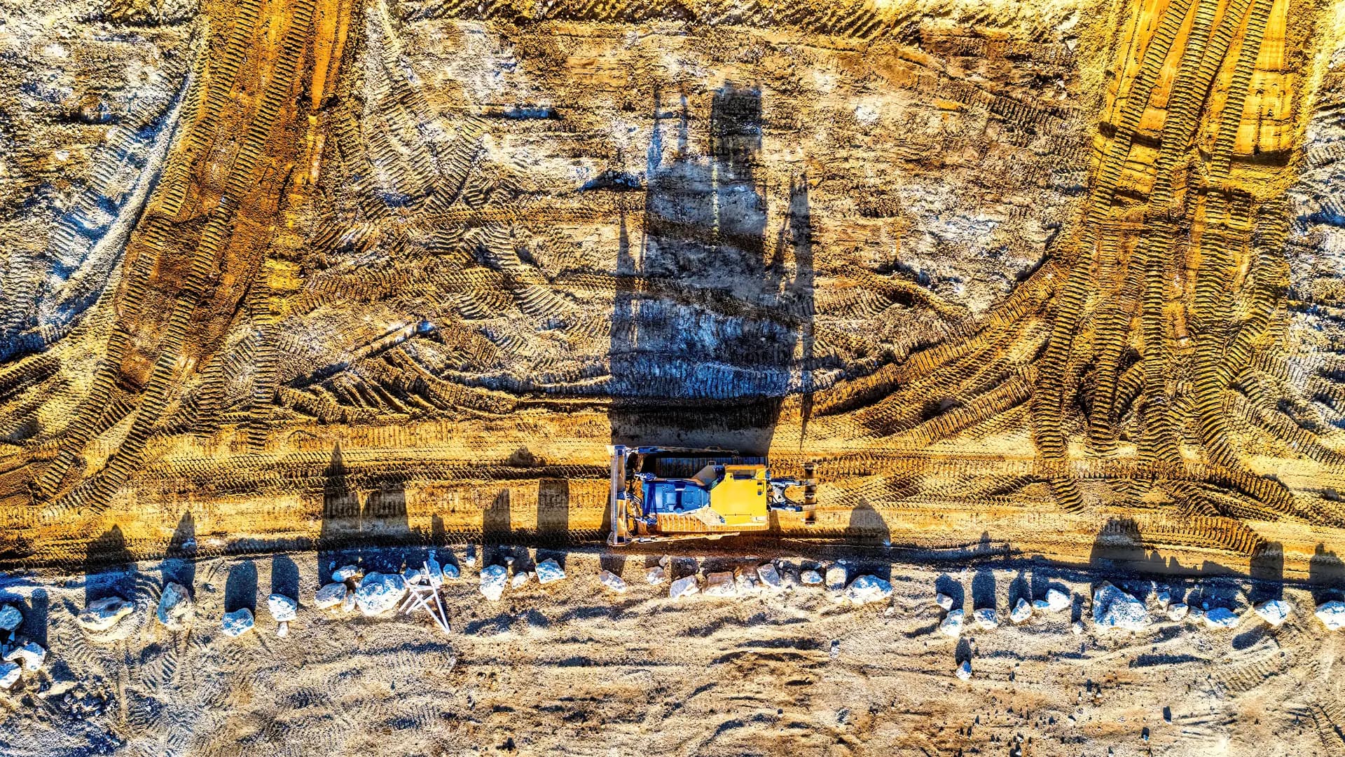
Machine control · Takeoffs · GPS
3D machine-control models, site takeoffs, drone data, and GPS support prepared for practical use by construction teams.
Build
3D models for machine control and rover workflows
Measure
Earthwork, paving, pipe, and material takeoffs
Support
GPS setup, localization, calibration, and training
Core services
BCT supports contractors with construction data and field technology. Final service descriptions and capabilities remain subject to owner review before launch.
01
Machine-control and rover site models structured around the project plans and the equipment workflow.
02
Quantity takeoffs for earthwork, paving, concrete, pipe, and associated materials from approved project files.
03
Progress and surface-data workflows that help teams compare field conditions with project surfaces.
04
Setup, troubleshooting, calibration, localization, control, and crew training for supported systems.
Project history
These images come from the existing BCT project archive. Services, locations, scope, and results will be added only after owner verification.
Project archive — details pending approval
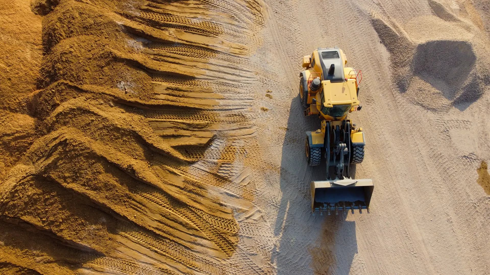
Project archive — details pending approval
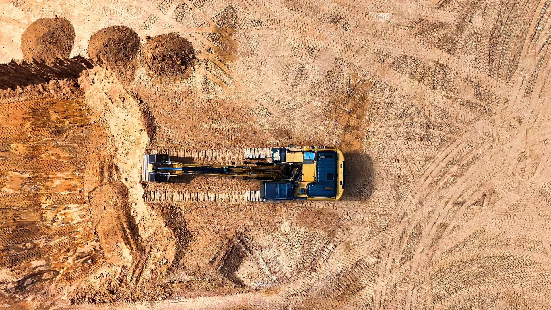
Project archive — details pending approval
Project archive — details pending approval
Working approach
01
Identify the service, target date, equipment or format, and available files.
02
BCT reviews the inputs and confirms requirements before work begins.
03
Receive the agreed deliverable with practical support for the field workflow.